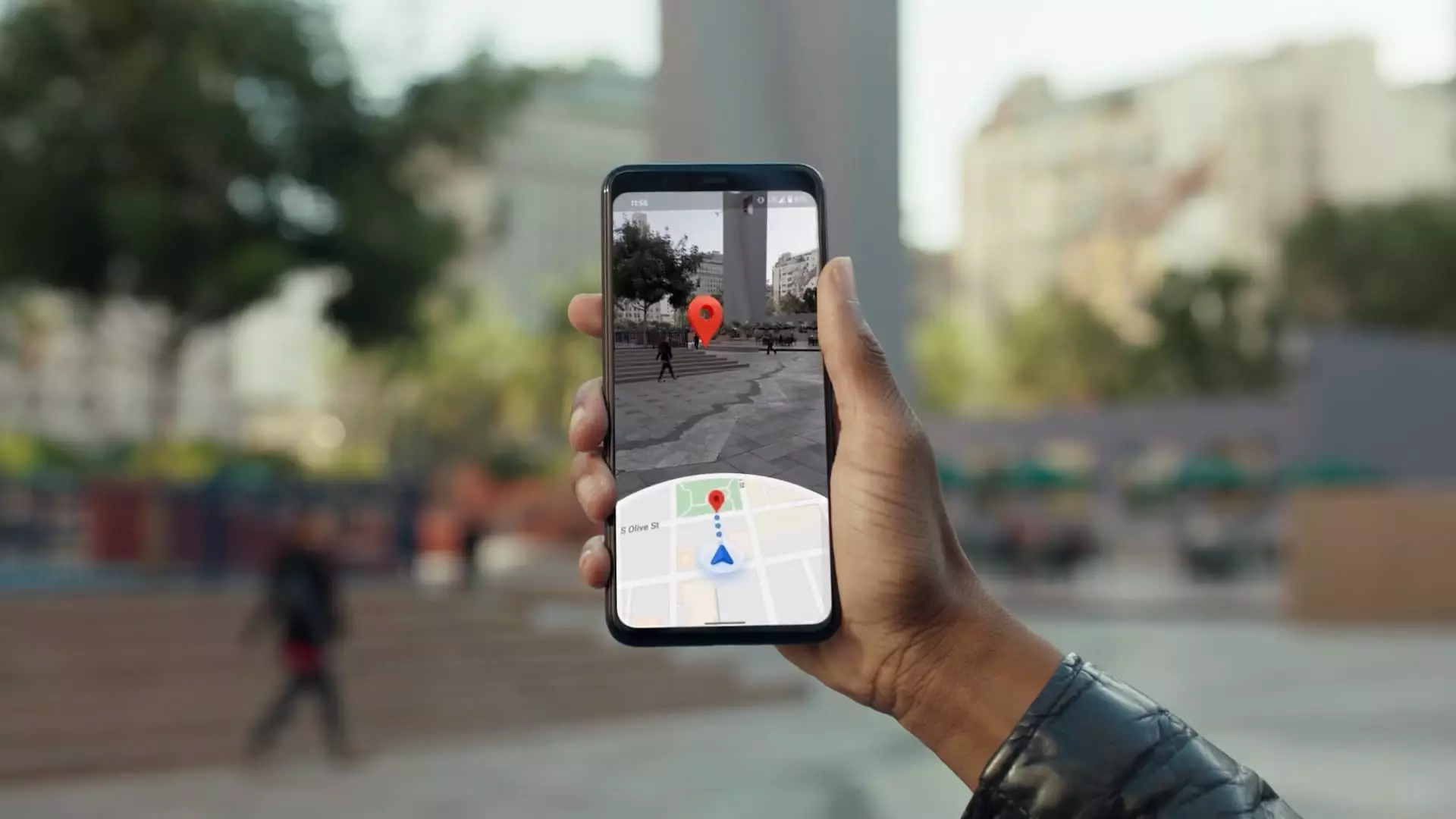
Two decades back, the world witnessed the birth of a revolutionary concept that would redefine navigational tools. Larry Page, co-founder of Google, introduced an innovative idea that allowed users to explore streets from a unique perspective. According to Maria Biggs, a technical program manager for Google Street View, the inception of this idea involved Larry Page driving through neighborhoods with a video camera, ultimately prompting someone to ask, “What can you do with this?” This simple inquiry set off a transformative journey that would eventually lead to the creation of Google Maps—now the largest navigation application with over 2 billion monthly users.
What began as a rudimentary exploration of environment visuals has progressed into a sophisticated and integrated mapping system. In 2022, Google launched its highly adaptable Street View camera, which can be retrofitted onto various vehicles rather than being custom-installed. Biggs outlined how this innovation drastically simplifies the logistical aspects of data gathering, allowing Google to conduct updates without the need for transporting specialized vehicles. Instead of shipping entire cars, the company can now send compact camera systems securely, making it easier to survey new locations.
Revitalizing Map Data and Expanding Reach
The integration of this new technology is positioned to update areas of the map that have remained static for nearly a decade. With the capability to dispatch these portable camera systems to remote locations, Google can augment its data regularly, drastically improving the user experience and the freshness of their maps. As the anniversary of Maps approaches, the urgency to remain the leader in navigation is palpable.
Google is not merely focused on refreshing existing data. The company has taken ambitious steps to map new countries, such as Bosnia and Herzegovina, Namibia, and Liechtenstein. This broad undertaking showcases Google’s commitment to providing comprehensive mapping solutions across the globe. To achieve this, Google’s strategy encompasses a multifaceted approach to data collection, leveraging aerial imagery, satellite resources, and over 1,000 third-party data providers, ensuring access to maps in more than 250 territories.
A significant advancement in Google Maps’ functionality lies with the introduction of Gemini, an AI chatbot that enhances user experience by seamlessly integrating generative AI capabilities into navigation. The functionality of Gemini allows users to find options that fit specific needs, such as a dog-friendly restaurant with outdoor seating. This streamlined service summarizes extensive reviews and offers dynamic updates about real-time conditions affecting routes, such as weather disruptions or unplowed roads.
In terms of public transportation, the AI system equates to heightened awareness, offering alternative routes and up-to-date delay reports. Other travel obstacles such as finding parking and walking directions are addressed, effectively consolidating multiple layers of travel logistics into one user-friendly interface. The embrace of AI not only helps users navigate more confidently but promotes an overall safer travel experience.
Balancing User Safety and Data Privacy
While the convenience of navigation technology is unmatched, it also invites scrutiny regarding data privacy. James Hodgson of ABI Research highlights a “perception barrier” surrounding how personal data is collected and utilized. Google’s features include blurring faces and license plates, ensuring that user privacy remains a priority. Moreover, mechanisms are in place allowing users to delete their location history or request certain areas to be blurred on Street View, reflecting a commitment to safeguarding user information.
In a move to enhance privacy further, Google initiated a policy shift in December, opting to store location histories on user devices instead of in a central cloud. This adjustment complicates access for authorities, which could mitigate potential misuse of data.
Despite the technological prowess of Google Maps, the financial details regarding its revenue streams remain enigmatic. Parent company Alphabet does not isolate Maps in its financial disclosures, grouping it with its other services. However, analysts have presented projections estimating revenue growth from about $2.95 billion in 2019 to an anticipated $11 billion by 2023, primarily driven by advertising.
Google Maps also maintains a steady income through partnerships with businesses like Wayfair, Uber, and Domino’s, providing them with mapping functionalities. Furthermore, the introduction of Android Automotive positions Google Maps in the forefront of vehicle infotainment systems, paving the way for novel business opportunities as autonomous driving technology continues to advance.
Google Maps has transformed from a simple navigation tool into a multifaceted platform enriched with AI and adaptable technology. This evolution not only enhances user experience but also initiates a proactive approach to global mapping. The uneasy intersections of privacy, technology, and efficiency present both challenges and opportunities for the future of navigation. As emerging technologies like robotaxis become commonplace, Google’s capabilities in accurate mapping will undoubtedly play an essential role in shaping our travels and lifestyles for generations to come.

